The Atlantic hurricane season has been quiet and El Niño deserves most of the credit for that. But quiet is not over, and this is not the week to put the preparedness plan back in the drawer. August just shattered global temperature records with El Niño still building strength, Illinois was hit by more tornadoes this year than any place on Earth, and scientists have finally built the tool that proves what disaster victims were told for years was simply wrong. The US Drought Monitor update is in this post. Flash drought is tightening its grip across the central United States with no easy relief in sight. Your NOAA Weather Radio stays close. The Invisible Storm heat safety page and the Hurricane Safety page are here when you need them. The new Tornado Quest Chronicles essay is up and I’ve got citizen science links for those of you who want to get involved in data collection. Ten reads this week that range from new Hubble images of Saturn that will stop you cold, to one climate scientist arguing that the freight train can still be stopped. Come find what matters to you.
- Saturn is an amazing planet. After seeing these new images from the Hubble telescope, it’ll be even more mind blowing to you.
- Every writer in this piece grew up loving summer in a different corner of America, and every single one of them is describing something they can feel slipping away.
- Scientists just ranked every country on Earth by its chances of surviving a global catastrophe…and the United States didn’t make the short list.
- The system designed to warn communities before fracking triggers a damaging earthquake has a flaw the industry has known about for years. Now, a new study just put a number on how often it fails.
- After a flash flood killed hikers in the USA’s Grand Canyon this summer, a geologist who’s hiked the world’s wildest canyons reveals why clear skies overhead can’t protect you and the one thing every hiker should check before descending.
- As climate change heats up our skies, the predictable world of aviation is facing stormier, more turbulent futures and passengers, like you, may bear the cost.
- As the world crosses the feared 1.5°C warming threshold, headlines scream ‘too late.’ One climate scientist argues the freight train can still be stopped, and the real story isn’t what you think.
- For years, disaster victims were told by politicians, emergency management, first responders, and social media influencers (including more than a few storm chasers) that climate change couldn’t be blamed for what happened to them. Scientists just built the tool that proves otherwise.
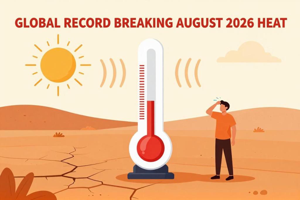
- August 2026 just shattered every temperature record in the books. With an intensifying El Niño still building, the worst may not be behind us yet.
- Illinois has been hit by more tornadoes this year than any place on Earth and the meteorologists who study tornadoes for a living will tell you they didn’t see this coming.
HURRICANE AND TROPICAL CYCLONE SAFETY AND PREPAREDNESS
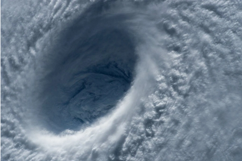
THE INVISIBLE STORM
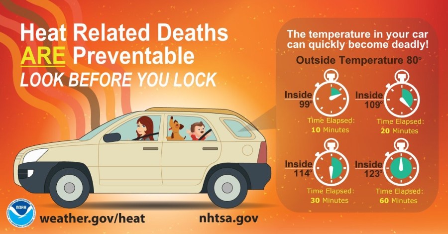
NOAA WEATHER RADIO

Here’s your weekly reminder to check your NOAA weather radio’s batteries, programming, settings, and reception. NOAA has a comprehensive page on NOAA weather radio…a feature of the National weather Service in the USA that has saved countless lives.
US DROUGHT MONITOR
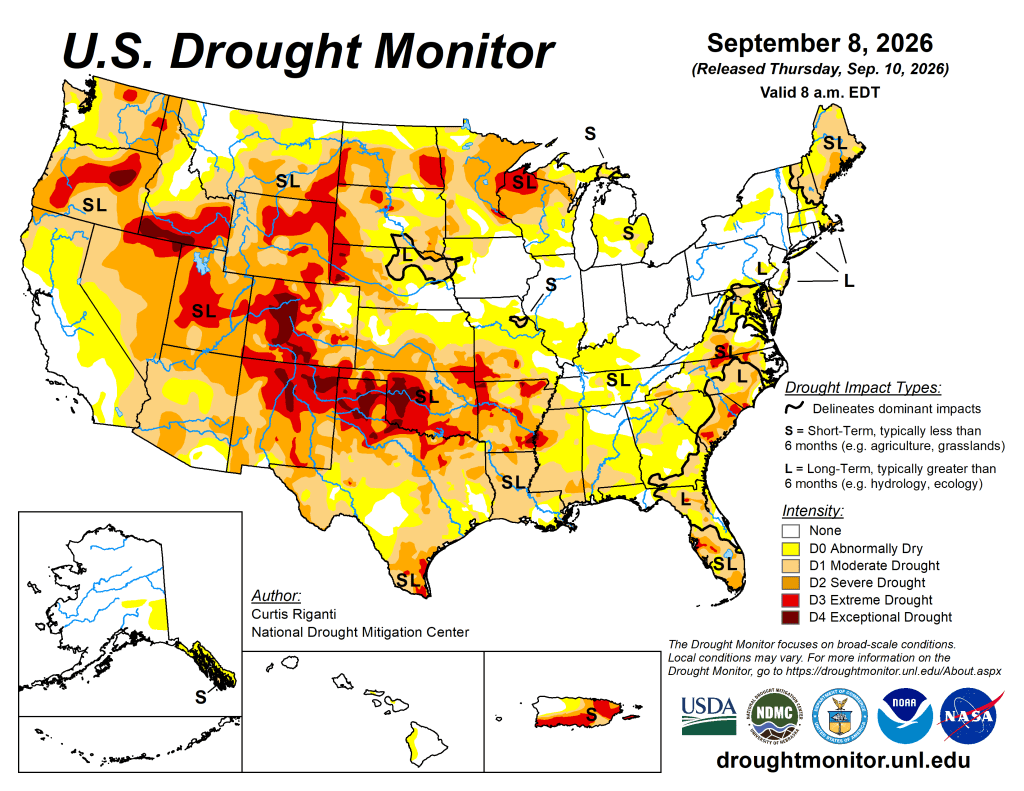
Summary
Flash drought is tightening its grip across a wide swath of the central United States this week. From Texas northeast through the Mississippi Valley, temperatures running 10 to 15 degrees above normal combined with bone-dry conditions are accelerating drought in areas that can least afford it heading into autumn. New England, parts of the Upper Midwest, and pockets of the Northern Plains are also drying out. The one notable exception was Tropical Storm Edouard which dumped 10 to 15 inches of rain in a narrow corridor of southeast Texas. That’s the kind of feast-or-famine rainfall pattern that does little for long-term drought recovery. The next week brings some relief to the upper Midwest, Ohio Valley, and parts of the Southern Plains, with meaningful rain chances for eastern Kansas, western Missouri, and northern Iowa through Minnesota. The West stays largely dry. Looking further out, the forecast through mid-September tilts toward above-normal precipitation for much of the country, particularly the Four Corners states, with warmer-than-normal temperatures dominating the South and East. If you’re in the drought-stricken central Plains, don’t celebrate yet. The pattern is improving, but flash drought doesn’t surrender easily.
- NOAA’s US Drought Monitor website has the full regional and state details.
- The latest daily fire weather outlooks can be found at the Storm Prediction Center’s website.
CITIZEN SCIENCE
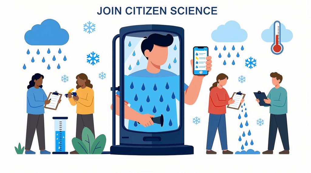
Citizen science lets everyday people actively shape real research by sharing observations and data. Join now to make a tangible impact, discover new insights, and become part of a global community driving scientific breakthroughs!
- The CoCoRaHS project invites weather enthusiasts to become citizen scientists by submitting daily precipitation reports that support forecasting and climate research even on dry days.
- Another path into becoming a citizen scientist is using the free mPING app! Your weather reports go directly to the National Severe Storms Laboratory in Norman, Oklahoma!
- SciStarter is a great place to explore a vast variety of citizen science projects.
- Zoonivese is another website that has a plethora of citizen science projects from climate to astronomy to ecology.
That’s a wrap for this week! Thanks for stopping by! See you next Saturday!
™ Tornado Quest © 1998‑2026 Tornado Quest, LLC. All Rights Reserved.
 TORNADO QUEST
You must be logged in to post a comment.