
Still under the weather this week, but the links are here and worth your time. Hurricane season isn’t finished, your NOAA Weather Radio stays close, and the hurricane safety page is here when you need it. The US Drought Monitor update is in the post, and the megadrought story this week asks a question nobody wants to sit with: what if it’s not temporary? Nine reads this week from Tyrannosaurus Rex footprints that finally show how this predator actually walked, to what North Carolina learned two years after Helene that every community in storm country needs to hear. Stay prepared out there.
- For the first time, four ancient footprints are letting scientists finally watch an adult Tyrannosaurus Rex in motion. What they found might surprise you about how this predator actually walked.
- Speaking of dinosaurs, this video is a fascinating look at a new species of dinosaur that could have been a faster and smaller version of Tyrannosaurus Rex.
- Think you know the moon’s color? NASA’s Artemis II astronauts revealed it’s not just gray. It’s surprisingly colorful, with swamp greens and jaundiced yellows visible from orbit.
- New research suggests the dying sun could unleash orbital chaos on our solar system’s outer planets. This would shatter the quiet stability we’ve counted on for billions of years and arriving far sooner than astronomers ever imagined.
- A few days ago, residents of the UK were treated to some spectacular northern lights. Here are some of the amazing images along with a concise explanation of why this incredible atmospheric phenomenon occurs.
- Trees are a blessing to many folks across the globe. However, there are certain places where they’re not native to the region and they’re not a little troublesome.
- Three hundred glaciers have vanished from America’s West since the mid-20th century. The survivors share a secret whilst offering a chilling glimpse of what could be lost forever.
- What if the southwest USA’s twenty-seven year megadrought isn’t a temporary crisis but a permanent new reality, and your town could be next?
- Two years after Hurricane Helene, North Carolina is rewriting the playbook on disaster resilience. It starts with what happens when the power goes out.
HURRICANE SAFETY AND PREPAREDNESS
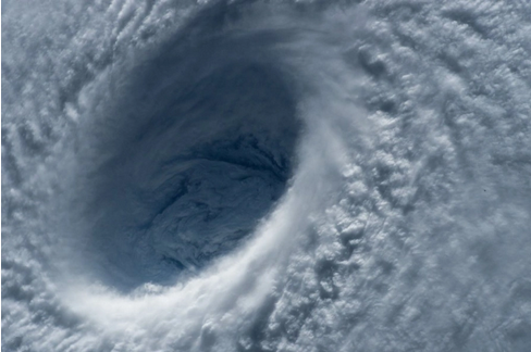
The Atlantic Awakens
Hurricane Isaias has made landfall on the Florida coast, shattering the false sense of security many felt during what appeared to be a quiet 2026 Atlantic hurricane season. Record low activity earlier in the year lulled communities into complacency, but history reminds us that even slow seasons can produce devastating storms like Category 5 Andrew in 1992. One powerful storm is all it takes to undo months of perceived calm. Lowering your guard when the threat is still real is negligence, not courage. Emergency plans, supplies, and readiness cannot wait until hurricane watches are issued and store shelves are empty.
Hurricane readiness isn’t measured by storm counts. It’s measured by whether you’re prepared for the one that strikes your community. The Atlantic may be quiet now, but that doesn’t mean it won’t roar to life again. Stay prepared, stay informed, and get a good start at the link below.
US DROUGHT MONITOR UPDATE
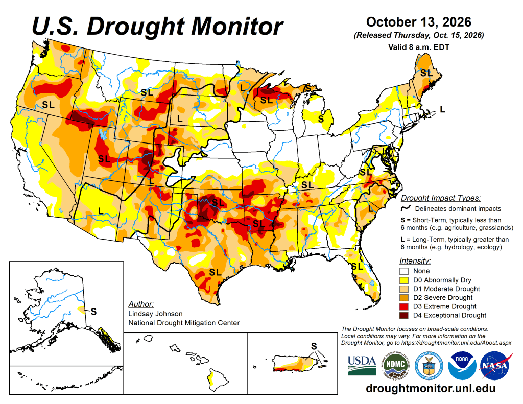
US Drought Monitor Summary
Drought conditions across the U.S. are diverging sharply. Recent storms eased conditions in the West and Southeast, while unusual warmth and dryness worsened drought from the Midwest through the Tennessee Valley. More rain is forecast for Texas and Missouri in the coming days, but the Northeast and Ohio Valley will likely stay dry with above normal warmth continuing. This directly affects you through grocery prices (less crop yields), water bills (shrinking supplies), wildfire risk (dry vegetation), and energy costs (lower hydropower plus higher cooling demand) so whether these pressures ease or build depends largely on where you live.
- NOAA’s US Drought Monitor website has the full regional and state drought conditions details.
- The latest daily fire weather outlooks can be found at the Storm Prediction Center’s website.
NOAA WEATHER RADIO

Here’s your weekly reminder to check your NOAA weather radio’s batteries, programming, settings, and reception. NOAA has a comprehensive page on NOAA weather radio…a feature of the National weather Service in the USA that has saved countless lives.
CITIZEN SCIENCE
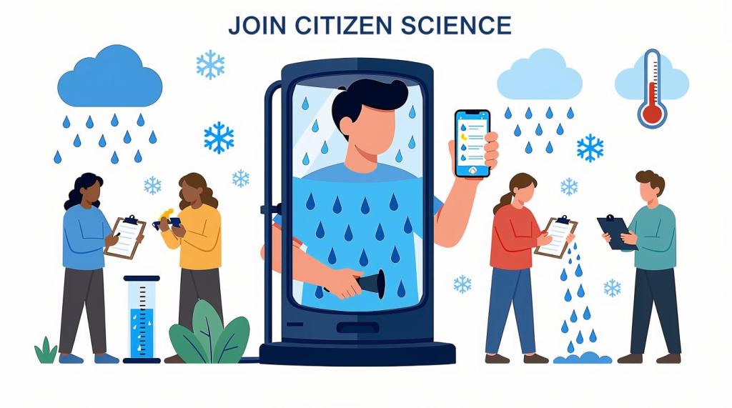
Citizen science lets everyday people actively shape real research by sharing observations and data. Join now to make a tangible impact, discover new insights, and become part of a global community driving scientific breakthroughs!
- The CoCoRaHS project invites weather enthusiasts to become citizen scientists by submitting daily precipitation reports that support forecasting and climate research even on dry days.
- Another path into becoming a citizen scientist is using the free mPING app! Your weather reports go directly to the National Severe Storms Laboratory in Norman, Oklahoma!
- SciStarter is a great place to explore a vast variety of citizen science projects.
- Zoonivese is another website that has a plethora of citizen science projects from climate to astronomy to ecology.
That’s a wrap for this week! Thanks for stopping by! See you next Saturday!
™ Tornado Quest © 1998‑2026 Tornado Quest, LLC. All Rights Reserved.


You must be logged in to post a comment.